Displaying Sentinel Imagery in OsmAnd
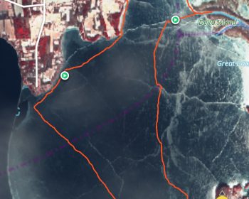
In recent years, nordic ice skaters have been using the Sentinel 2 satellite imagery that is captured every few days to remotely scout for fresh ice that isn’t covered with snow. This has been a fabulous tool for identifying conditions before heading out on the ice. Have you ever been…