Skip to content
AdamFranco.com
AdamFranco.com
Musings, projects, software, and photography.
Skip to content
  • Home
  • About
  • Software
    • Curvature
    • Github
Home Posts tagged "GIS/GPS"

Tag: GIS/GPS

Geographical Information Systems (GIS) and related topics. Fun with Google Earth, Google Maps, GPS tracking and other fun with technology for interacting with the geography of our world.

Where to Eat? Custom maps of OpenStreetMap data

Adam February 26, 2020 February 27, 2020Computers and Technology GIS/GPS, maps, OpenStreetMap 0
Map screen shot of Middlebury with POIs highlighted.

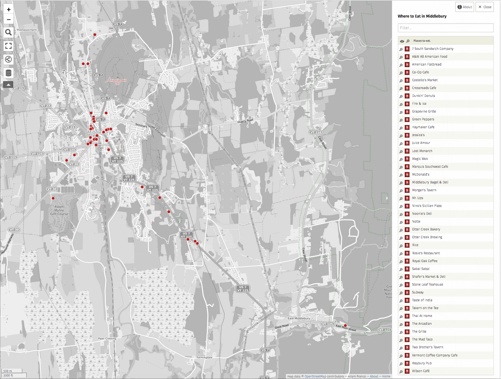
Where to eat in Middlebury? A long running topic of discussion with my colleagues is: “Where should we eat for lunch?” Our small rural town has a pretty vibrant dining scene for its population with between 40-50 establishments that serve food or drink. This number is just large enough to…

Continue reading

New Curvature site

Adam November 17, 2016 October 25, 2020Computers and Technology, Software Curvature, GIS/GPS, motorcycles, projects 0
Guage Rd with Curvature logo and map inset.

Several years after creating Curvature –my program that analyzes road-geometry and builds maps of twisty roads– it now has a dedicated site of its own: roadcurvature.com The new site is written to help non-techies understand how to use the curvature files with step-by-step instructions and a lot less jargon than…

Continue reading

Hinesburg Town Forest

Adam September 13, 2009 December 12, 2010Life and Everything Else cycling, GIS/GPS, mountain biking, outdoors 0

Today Spencer and I had a great rainy day mountain bike ride in the Hinesburg Town Forest. The blue line is our GPS track, the purple are the trails (provided by LocalMotion.com). View Larger Map It was a bit damp and cloudy, but the trails weren’t too muddy the woods…

Continue reading

Middle Road Development

Adam December 3, 2007 December 12, 2010Life and Everything Else GIS/GPS, KML, news 0

Just over the hill from me are two new development projects in Middlebury, the “Lodge at Otter Creek” retirement community and the other is an upscale residential neighborhood. For those who are interested in the extent of the development, I’ve biked the new roads and recorded their positions via GPS:…

Continue reading

KML Joiner

Adam August 29, 2007 December 12, 2010Computers and Technology, Software development, GIS/GPS, KML, PHP 2

As of a few days ago, I am now able to generate KML versions of Flickr photosets for viewing in Google Earth/Maps. With that taken care of, I also want to easily combine these KML documents of images together with other KML files that show additional information, such as paths…

Continue reading

Conodoguinet Creek Canoe Trip

Adam August 28, 2007 December 12, 2010Life and Everything Else GIS/GPS, KML, outdoors 0

Sarah and I took a 6-mile canoe trip down the Conodoguinet Creek near my parents’ house on a beautiful August afternoon. View Larger Map The map above was generated with a GPS track of our path (the blue line) and the photo output from my new photosetToKML.php script

Continue reading

Opossum Lake Trail

Adam August 26, 2007 December 12, 2010Life and Everything Else GIS/GPS, KML, outdoors 0

A map of the “Angler’s Trail” around Opossum Lake, built by the Friends of Opossum Lake Conservancy. View Larger Map

Continue reading

Flickr Photo Set to KML

Adam August 23, 2007 October 6, 2011Computers and Technology, Software GIS/GPS, KML, photography, PHP 47

One of the things I (and others) have found lacking when working with geotagged images on Flickr, is the inability to retrieve a “photo set” (Flickr’s take on a slideshow) as a KML document that can then be displayed in GoogleEarth, GoogleMaps, or other geo-browsers. Flickr provides some KML links…

Continue reading

Hiking Trails in Vermont – Google Earth/Maps

Adam October 9, 2006 December 12, 2010Life and Everything Else GIS/GPS, KML, outdoors 0

This weekend I started a project of mapping hiking and biking trails around Vermont and building a Google Earth data set of the trails, their heads, and destinations. View the trails in Google Maps. To view the trails in Google Earth: Download and install Google Earth Click on this link…

Continue reading

  • Flickr Github YouTube RSS
  • Adam Franco's profile photo.
  • Categories

    • Computers and Technology
    • Life and Everything Else
    • Software
    • Work/Professional
  • Tags

    agriculture Apple bicycle commuting blogging books commuting Curvature cycling dance Dashboard widgets development electronics food GIS/GPS Git git-svn Google Earth home improvement KML linked articles Linux maps motorcycles mountain biking news OpenStreetMap opinions outdoors Perl pets phones photography PHP politics projects reviews Segue source-control touring travel Vermont video weather web-development woodworking
AdamFranco.com © 2020 Creative Commons Attribution-Noncommercial-Share Alike 2.0 Generic License Some rights reserved.
Powered by Nirvana & WordPress.
Flickr Github YouTube RSS